RideItaly
Emilia-Romagna Apennines 125km Route
125km over Passo della Cisa Approach
125 km2264 m elevationroad
The Route
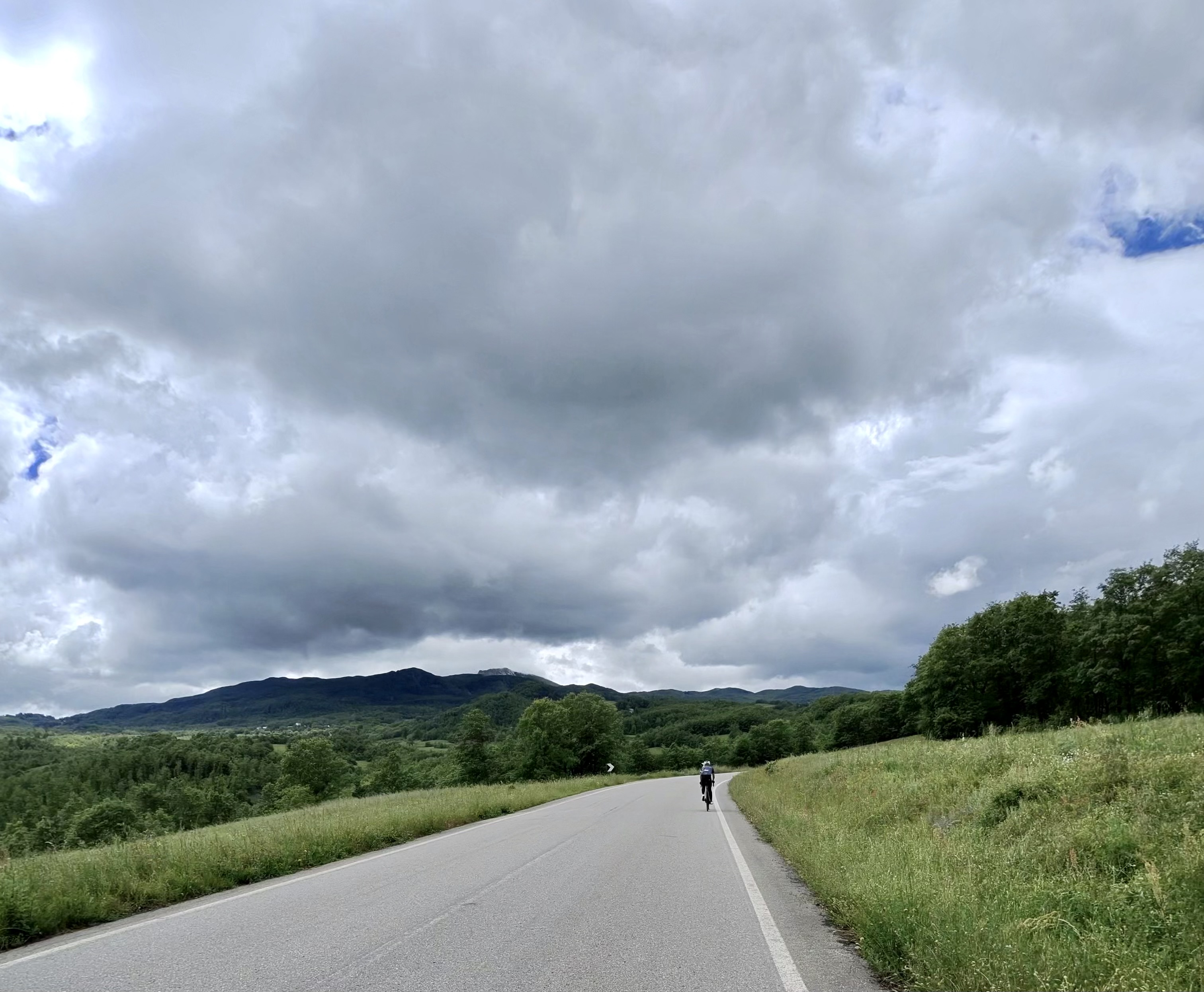
A proper big day out from Reggio Emilia, heading deep into the Apennines toward Passo della Cisa. This ride takes you from the valley floor at 132m all the way up to 1,270m .
Key stats:
- Distance: 125 km
- Elevation gain: 2,264 m
- Max elevation: 1,270 m
Ride Profile
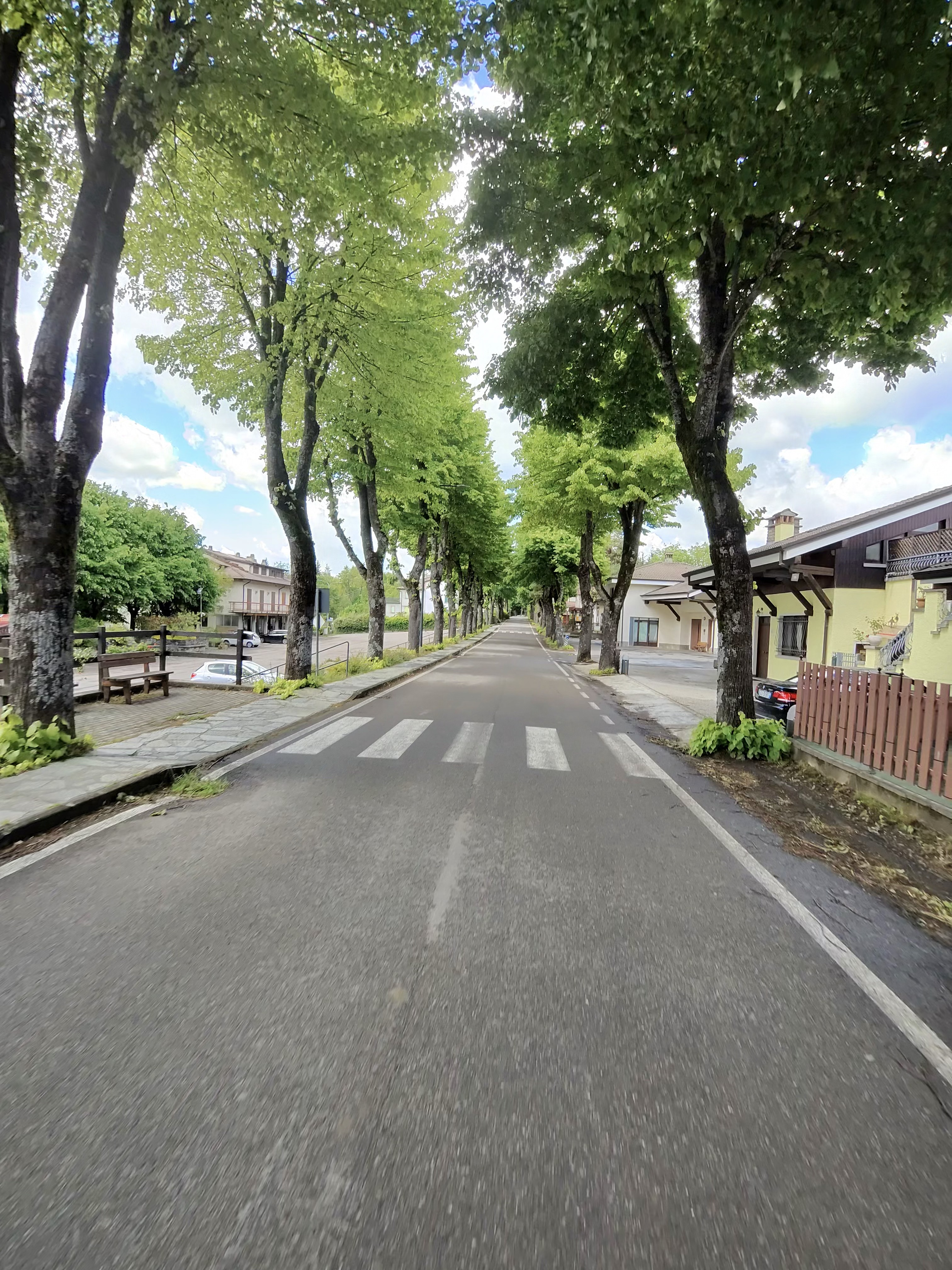
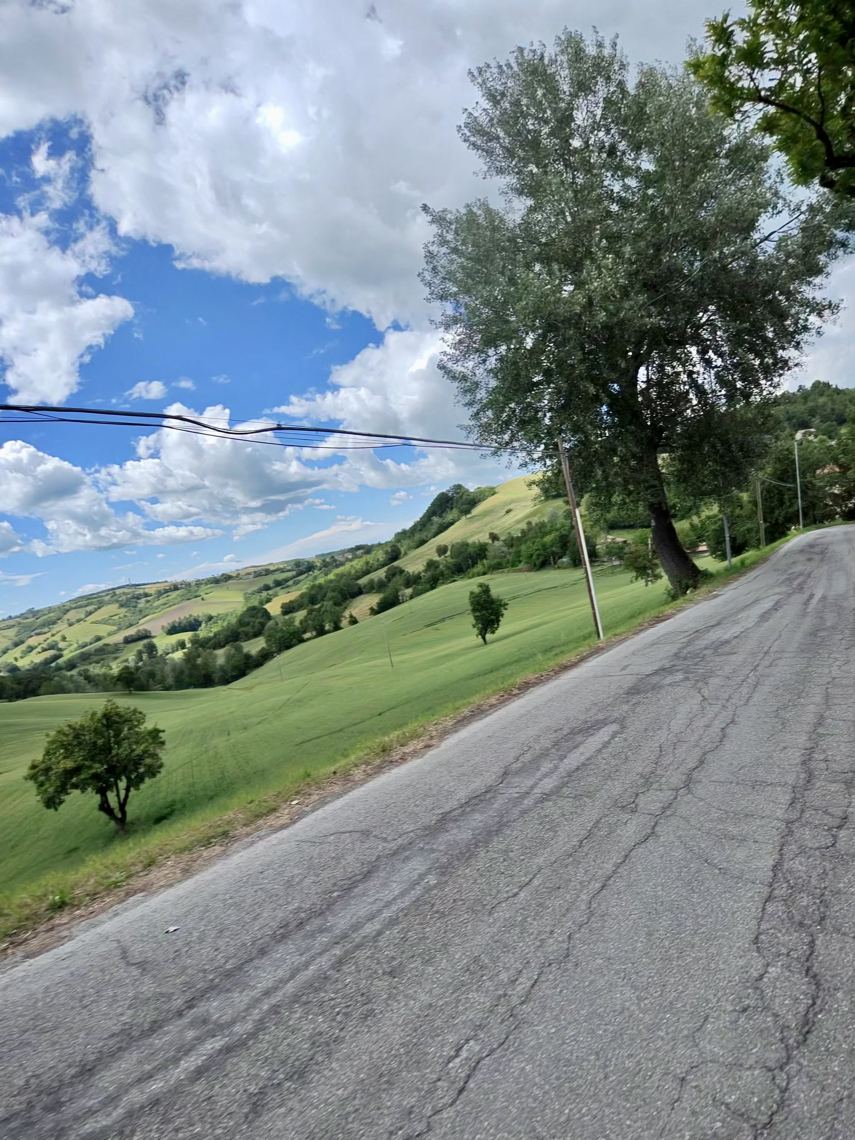
The first 20km are flat along the valley, then the road tilts upward and doesn't really stop until you hit the high point. The terrain rolls and rises through small villages, chestnut forests, and increasingly dramatic mountain scenery.
The descents are fast with good road surfaces but tight switchbacks in places.
Conditions
- Temperature: 15°C average (cooler at altitude)
- Wind: Variable in the mountains
- Road surface: Good, occasional rough patches on minor roads
Effort
A serious day: Bring food. The villages en route will have bars for espresso stops, but don't count on finding much above 900m.