RideItaly
Emilia-Romagna Apennines 64km Route
64km through the hills south of Reggio Emilia
64 km1144 m elevationroad
The Route
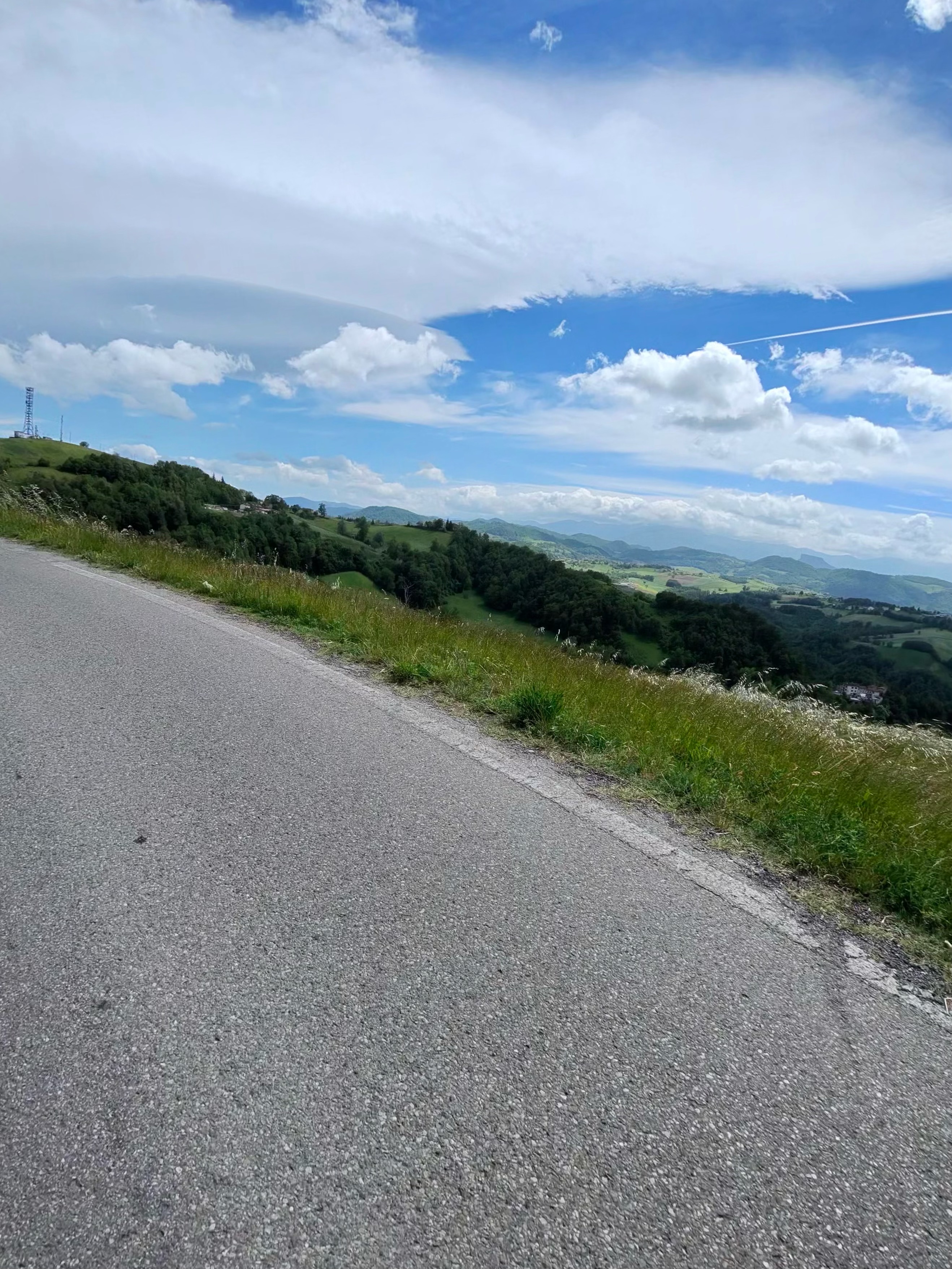
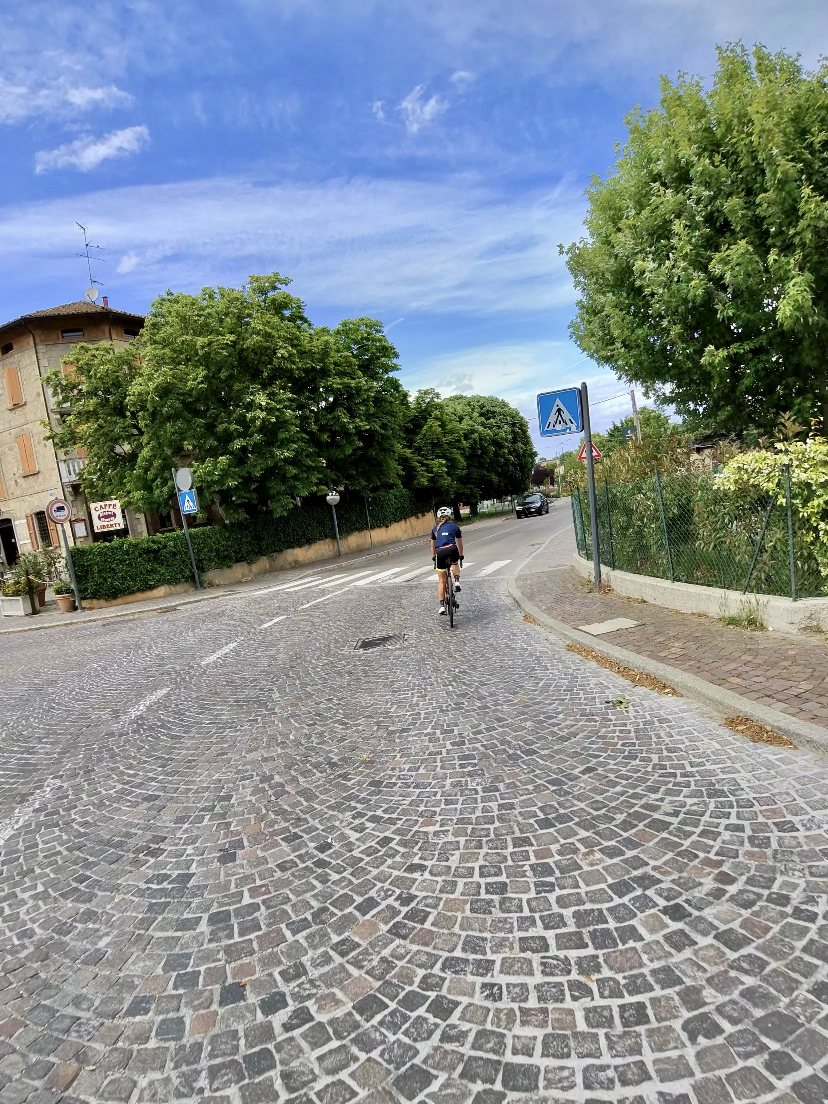
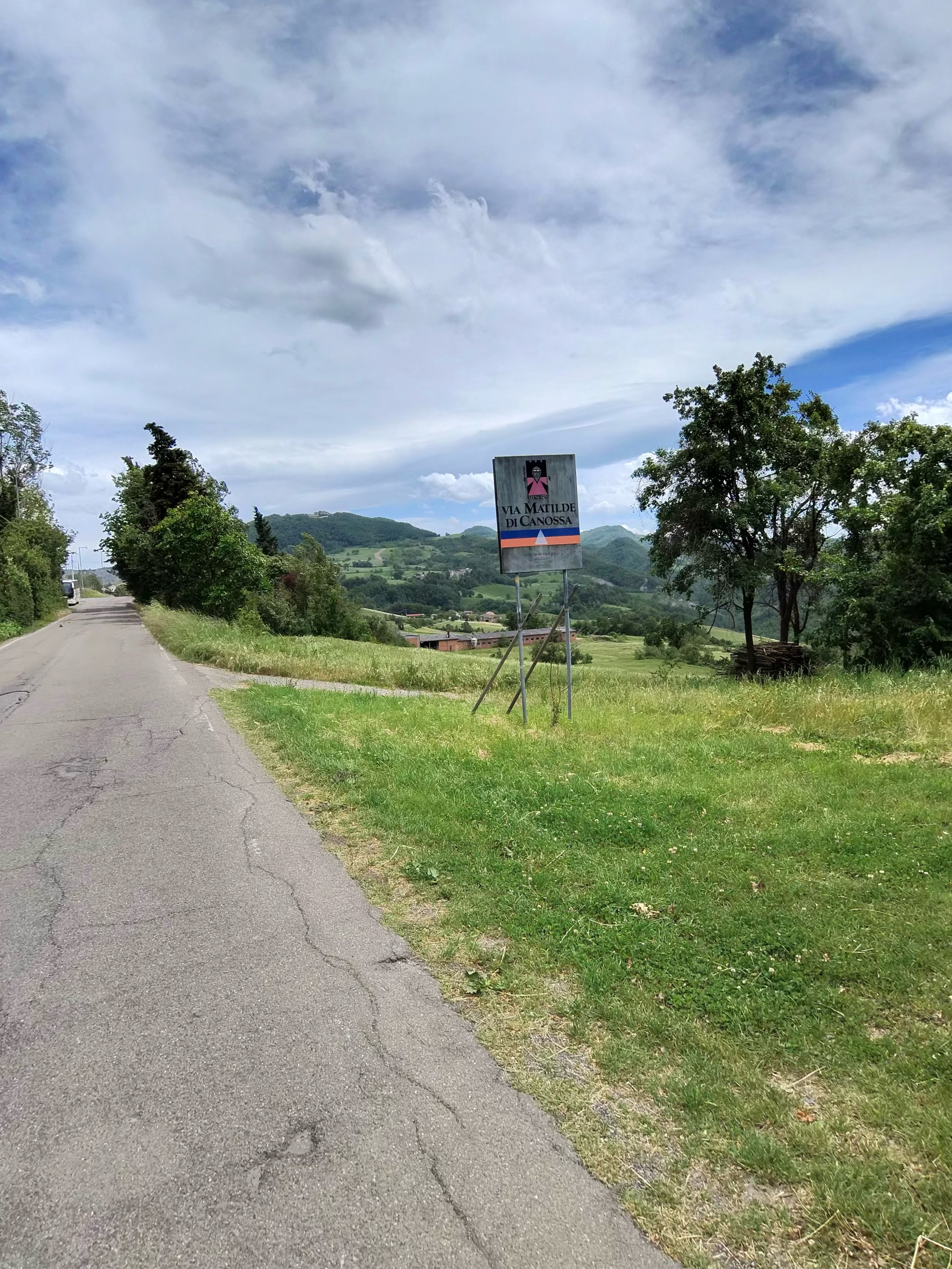
Starting from Reggio Emilia, this afternoon loop heads south into the Apennine foothills. The terrain ramps up quickly once you leave the Po Valley floor, expect steady gradients of 5–8% on roads with virtually no traffic.
Key stats:
- Distance: 64 km
- Elevation gain: 1,144 m
- Max elevation: 705 m
Ride Profile
A solid ride for a half-day. The climbing is concentrated in the middle section, with a fast descent back to the valley floor. Perfect if you've got lunch plans in town afterwards. Be sure to check the wind, we got caught in some very strong cross winds gusting over the hilltops.
Conditions
- Temperature: 21°C average
- Wind: Light
- Road surface: Good tarmac throughout